View north towards Volcan Tatio from B-245 Viewpoint, Chile
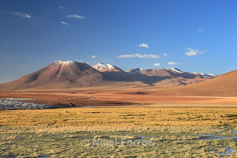
B-245 Viewpoint, Rio Putana, near Machuca, Antofagasta Region, Chile (March 2019)
This image was taken during the North Chile's Coastal & Desert Wildlife trip organised by Natures Images and led by Mark Sisson and Pablo Cersosimo (Wild South Photography).
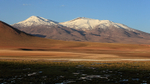
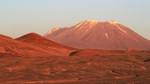
This is a view out over the Rio Putana (Vega de Putana wetland) towards, from left to right, Volcan Tatio (5170 metres high), Cerro de Tatio (5280 metres) and Cerro La Torta (5080 metres). These peaks form part of the Tocorpuri volcanic complex. The gently sloping mountain (summit 4633 metres, out of shot) on the far right in the mid-distance is Pabellon.
Volcán Tatio / Mapcarta
Cerro de Tatio / Mapcarta
Cerro La Torta / Mapcarta
Cerro Pabellón / Mapcarta
Vega de Putana / Mapcarta
Shooting Time 19:22
Tv(Shutter Speed) 1/60
Av(Aperture Value) 11
Exposure Compensation -1/3
ISO Speed 250
This image was taken during the North Chile's Coastal & Desert Wildlife trip organised by Natures Images and led by Mark Sisson and Pablo Cersosimo (Wild South Photography).
This is a view out over the Rio Putana (Vega de Putana wetland) towards, from left to right, Volcan Tatio (5170 metres high), Cerro de Tatio (5280 metres) and Cerro La Torta (5080 metres). These peaks form part of the Tocorpuri volcanic complex. The gently sloping mountain (summit 4633 metres, out of shot) on the far right in the mid-distance is Pabellon.
Volcán Tatio / Mapcarta
Cerro de Tatio / Mapcarta
Cerro La Torta / Mapcarta
Cerro Pabellón / Mapcarta
Vega de Putana / Mapcarta
Shooting Time 19:22
Tv(Shutter Speed) 1/60
Av(Aperture Value) 11
Exposure Compensation -1/3
ISO Speed 250
|
Also in: Chile
 |  |  |  |  |
 |  |  |  |  |
 |  |  |  |  |