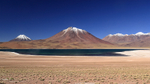
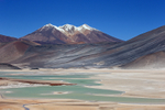
Laguna Miniques & Volcan Miniques, Atacama Desert, Chile
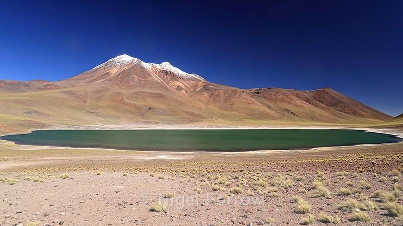
Laguna Miniques and Miniques Volcano, Los Flamencos National Reserve, south of San Pedro de Atacama, Antofagasta Region, Chile (March 2019)
This image was taken during the North Chile's Coastal & Desert Wildlife trip organised by Natures Images and led by Mark Sisson and Pablo Cersosimo (Wild South Photography).
Laguna Miniques has a surface elevation of 4120 metres. The volcano in the background is Miniques which has two summits at heights of 5910 and 5790 metres. A lava flow from this volcano resulted in the separation of Lagunas Miniques and Miscanti.
Miscanti Lake / Mapcarta
Laguna Miñiques / Mapcarta
Miñiques / Mapcarta
Shooting Time 16:29
Tv(Shutter Speed) 1/100
Av(Aperture Value) 11
Exposure Compensation -1/3
ISO Speed 200
Latitude 23 45 24.6 S
Longitude 67 47 40.2 W
Altitude 4200.70m
|
Also in: Chile
 |  |  |  |  |
 |  |  |  |  |
 |  |  |  |  |